
Subscribe

A study reveals that the western Indus Basin is experiencing increased river discharge due to glacial melt, while the eastern part is getting wetter from monsoon changes.
This highlights the impact of climate change on water resources in High Mountain Asia, affecting river basins that supply billions across Asia.
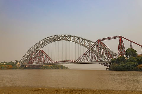
There is more bad news regarding the highly stressed Indus Basin that provides water to north Indian states and Union Territories like Jammu and Kashmir, Ladakh, Punjab, Himachal Pradesh and Haryana.
A new paper has shown that the western part of the basin is experiencing increased river discharge due to rising glacial melt and precipitation. On the other hand, the eastern part of the basin is getting wetter due to increased precipitation and changes in monsoon patterns.
The Indus was one of a number of river basins that the researchers studied. Most of these belonged to High Mountain Asia (HMA), which is known as the ‘water tower’ of Asia as it is the source of river basins like the Yangtze, Ganga, Indus, Brahmaputra, Mekong, and Irrawaddy, that provide water to billions of people across the continent.
The scientists wanted to understand patterns of river discharge in HMA and how it aided effective water resource management and infrastructure planning.
They used computer models and satellite observations “to investigate how daily river discharge has changed for more than 114,000 reaches across HMA between 2004 and 2019”.
The authors found that river flow is increasing in many areas of the Syr Darya, Amu Darya, Indus, Yangtze, and Yellow River basins.
“The ratio of total glacial melt and precipitation received by individual river reach showed an average significant increase of 2.2 per cent per year, particularly in the Syr Darya, Amu Darya and Western Indus rivers,” they wrote.
“Across HMA, our results also indicate that 8 per cent of river reaches with either planned and existing hydropower plants or dams experienced a statistically significant average increase of 2.9 per cent per year in stream power. These findings illustrate the rapidly changing patterns of river discharge and stream power in HMA,” the paper added.
Glaciers in western HMA contribute more than 40 per cent to total runoff in the Amu Darya, Syr Darya and Indus basins, but do not contribute substantially to total river flow in the southern and eastern HMA regions.
HMA’s glaciers are expected to lose between 29 per cent and 67 per cent of their total mass relative to 2015 by the end of the century, with Western HMA potentially peaking with excess glacier meltwater after 2050, the experts wrote.
According to them, the Amu Darya and Indus basins “show cumulative contribution of changing river discharge in the upstream reaches to the main stem, as significant changes are seen all the way down the mainstem to the river mouth and deltas”.
These upstream changes, while small in magnitude, represent potentially extreme shifts in regime, biogeochemical exchange, and sediment delivery to upstream systems
Meanwhile, a different situation is emerging in the eastern part of the Indus basin. This section, said the authors, is getting wetter because of increased precipitation and changes in monsoon patterns.
In the eastern Indus basin, changing discharge is substantially influenced by seasonal monsoons.
The paper added that as per the trends estimated by the authors, “with significant reduction in glacial mass, as projected by the end of the century, the Syr Darya and Amu Darya basins will likely lose their accelerating flow. In contrast, the monsoon-fed eastern Indus, Yangtze, and Yellow River basins will likely maintain the increasing trend through their river systems if the increasing precipitation trend continued”.
The authors are clear that climate change is behind these overall changes. “HMA’s rivers are facing the impacts of a shifting climate,” they stated.
Accelerating River Discharge in High Mountain Asia has been published in the journal AGU Advances.
