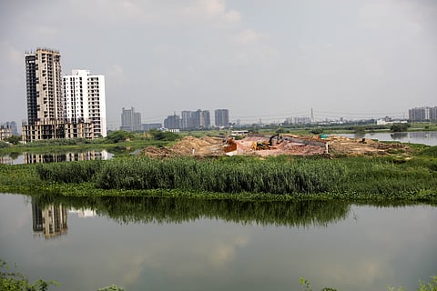
Using satellite imagery, non-profit organisation Indian National Trust for Art and Cultural Heritage (INTACH) has successfully traced the flow of the Sahibi river which is now classified as ephemeral.
The river is now bracketed into various canals and nullahs and flows only when it rains heavily in the catchment areas. In Delhi, it is now known as the Najafgarh drain.
Some historians have traced the river’s existence to the Vedic age. It is on the banks of the Sahibi that some vital sites of Vedic civilisation blossomed. The ancient Hindu texts such as the Rigveda and Manusmriti mention the existence of the river by addressing it as the Drishadvati river.