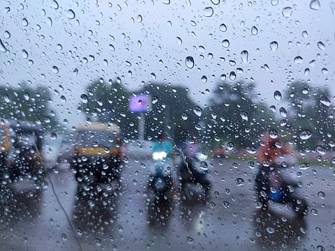


The IMD has issued orange alerts for Kerala, Mahe, Tamil Nadu, Puducherry and Karaikal, warning of heavy to very heavy rainfall of 115.6–204.4mm.
A fresh low-pressure system could develop over the Bay of Bengal around 23 October, potentially intensifying rainfall across southern India.
Thunderstorms, lightning and strong winds are forecast across several southern states, with fishermen warned against venturing into affected waters.
A western disturbance is expected to affect northwest India from 24 October, bringing possible rain, thunderstorms and snowfall at higher altitudes.
Heavy to very heavy rainfall is forecast across parts of southern India, with Kerala, Mahe, Tamil Nadu, Puducherry and Karaikal among the worst-affected areas, according to the India Meteorological Department (IMD) bulletin issued on October 22, 2026.
A fresh low-pressure area could develop over the Bay of Bengal around October 23, while a western disturbance is expected to affect northwest India from October 24.
The IMD has issued an orange alert for Kerala, Mahe, Tamil Nadu, Puducherry and Karaikal, warning of heavy to very heavy rainfall of 115.6-204.4 mm at isolated places.
The downpours could cause waterlogging, traffic disruption and localised flooding.
A yellow alert has been issued for the Andaman and Nicobar Islands, Lakshadweep and South Interior Karnataka, where isolated heavy rainfall of 64.5-115.5 mm is expected.
Residents have been advised to avoid flooded roads, swollen streams and waterlogged underpasses during heavy rain.
An upper-air cyclonic circulation previously located near Thailand and Myanmar has moved into the North Andaman Sea.
The system is expected to move west-northwestwards, potentially forming a low-pressure area over the southeast and adjoining east-central Bay of Bengal around 23 October.
It could strengthen as it moves northwestwards, influencing rainfall across parts of southern India.
Meanwhile, a separate low-pressure area over the southwestern Arabian Sea remains active, with an associated cyclonic circulation extending up to 5.8km above sea level. The system is expected to move towards the Somali coast.
Thunderstorms, lightning and gusty winds are also expected across southern India.
Tamil Nadu, Puducherry and Karaikal could experience winds of 40-50 km/h, while isolated areas of Andhra Pradesh, Telangana, Kerala, Lakshadweep, Interior Karnataka, the Andaman and Nicobar Islands and western Madhya Pradesh may see winds of 30-40 km/h.
Marine conditions could deteriorate around the Kerala coast, Lakshadweep, the Gulf of Mannar, the Comorin region and southern Tamil Nadu.
Winds of 35-45 km/h, gusting to 55 km/h, are forecast over these waters. Fishermen have been advised not to venture into affected areas.
A fresh western disturbance is expected to affect northwest India from 24 October, bringing possible rainfall and thunderstorms to some areas, with snowfall likely at higher altitudes.
Much of central, western and northeastern India is not expected to experience significant weather changes, although local conditions may vary.
Hot and humid conditions are expected to continue in parts of Konkan and Goa.
On October 21, Rajkot in Gujarat recorded the country's highest maximum temperature of 40.4°C, while Mandi in Himachal Pradesh recorded a minimum of 11.1°C among the plains stations cited by the IMD.
Maximum temperatures were more than 5.1°C above normal in parts of Assam and Meghalaya. Minimum temperatures were also significantly above normal in parts of Assam, Meghalaya, Sub-Himalayan West Bengal, Sikkim and western Madhya Pradesh.
The IMD has advised residents to avoid open spaces, isolated trees and electricity poles during thunderstorms.
Farmers in areas expecting heavy rainfall have been urged to ensure adequate field drainage and protect harvested crops from rain and strong winds.
Residents should continue monitoring official weather forecasts and local advisories as the systems develop.
